

Product Description
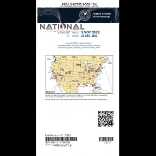
TAC SEATTLE / PORTLAND refers to the Seattle VFR Terminal Area Chart used by pilots for visual navigation and airspace awareness within and near the Seattle terminal area.
Couldn't load pickup availability
Pickup currently unavailable at National Aviation, Inc.
Free Shipping for orders over $350
Free standard shipping on all orders over $350 to the United States and Canada. Expedited shipping options are available at checkout for an additional cost.
Orders under $350 will show applicable shipping costs during checkout. Most orders ship within 1-2 business days.
We offer refund, return, and exchange options within 30 days of your purchase for eligible items. Products must be unused and in original packaging. We do not accept refund, return, or exchange requests after 30 days.
For complete details, visit our Shipping Policy and Returns & Refunds Policy.
FAA Approved
Our aviation parts and pilot gear meet FAA standards, giving you confidence and reliability in every flight.
Secure payments
Shop with confidence using our secure, encrypted checkout to protect your personal and payment information.
Fast Order Processing
Orders are processed the same business day, ensuring your parts and pilot gear reach you without delay.
If you have any questions, you are always welcome to contact us. We'll get back to you as soon as possible, within 24 hours on weekdays.
Shipping Information
Use this text to answer questions in as much detail as possible for your customers.
Customer Support
Use this text to answer questions in as much detail as possible for your customers.
FAQ’s
Use this text to answer questions in as much detail as possible for your customers.
Contact Us
Use this text to answer questions in as much detail as possible for your customers.
TAC SEATTLE / PORTLAND refers to the Seattle VFR Terminal Area Chart used by pilots for visual navigation and airspace awareness within and near the Seattle terminal area.