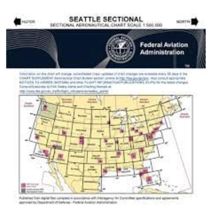
Product Description

Overview

Use FAA Aeronav VFR Sectional Charts to navigate the skies. These precisely detailed sectional charts are vital tools for pilots, giving a prosperity of information for guaranteeing safe and precise flight planning and execution. This FAA Aeronautical map is your frame to the skies, whether an experienced pilot or a learner pilot.

Safe and Confident Flight

The FAA Aeronautical VFR Sectional Chart is essential for all levels of pilots. These printable aviation charts provide the critical information you want to fly the skies safely and confidently, whether planning a cross-country trip or a local training flight. FAA Aeronav VFR best Sectionals Chart for 2023 keeping a prominent choice among pilots because of their reliability and accuracy.

An FAA airspace sectional chart, also known as an aviation chart or Sectional Aeronautical chart legend, is an important tool for pilots as it provides wide information about the airspace structure, navigational aids, landmarks, and other critical data required for safe and accurate flight planning and navigation.

Keep informed

Using FAA Aeronav VFR Sectional Charts, you can stay current on changing airspace laws and circumstances, identify milestones and reference points, and guarantee your flights are explicitly executed. You can rely on the accuracy and dependability of this VFR sectional air map to improve your aviation experience and keep your flights on track.

Pilots and aviation devotees can easily access sectional air charts online which are important for flight planning. If you need a detailed US aviation map for your project, there are a number of high-quality US map vector files available online at National Aviation that are perfect for a variety of purposes.

Symbols Explanation

A VFR sectional chart legend is an essential reference tool for pilots who use FAA Aeronautical VFR Sectional Charts, clarifying different symbols, abbreviations, and notes to help them understand the chart information during flight planning and navigation. A VOR on sectional chart is a navigational help represented by a separate symbol that provides pilots with directional information during their flights.

Key Features

Entirety Coverage

FAA Aeronav VFR Sectional Charts cover the entire United States, giving detailed flight charts of specific locations to help you plan your journey.

Important Information

These FAA Aeronautical VFR aviation maps provide vital information such as airspace limits, airports, radio frequencies, navigation assistants, geographical milestones, and more, all required for safe navigation. Suppose, The New York, Washington, and Chicago sectional chart provides navigational key information for pilots flying in the specific region.

Problems with Data

Understanding seattle sectional chart symbols is critical for pilots because they convey important information regarding geographies, airspace difficulties, and navigational assistance on FAA Aeronav VFR Sectional Charts. Contour lines, altitudes, and obstruction symbols inform you about possible threats, VFRmap allowing you to navigate securely, especially during low-altitude flying.

Details about Airports

Detailed information about airports, such as runway lengths, lighting systems, and communications frequencies, sectional maps promises you all the information you need for safe landings and takeoffs.

Classifications of Airspace

To fulfill the regulatory standards, quickly identify airspace classifications, particular use regions, and restricted zones. An FAA Airspace map is a dynamic resource for pilots because it provides a full outlook of the airspace structure.

Specifications

Coverage: Complete coverage of the United States

Size: Standard FAA sectional chart size

Scale: Various scales to accommodate different regions

Updated: Regularly updated to reflect changes in airspace, airports, and navigation assistances

Legibility: Clear and easy-to-read flight chart, even in low-light conditions

Compatibility: Suitable for use with EFB (Electronic Flight Bag) apps and traditional navigation tools

0 1. Overview

Our goal is for every customer to be totally satisfied with their purchase. If this isn't the case, let us know and we'll do our best to work with you to make it right.

0 2. Key Features

We will work quickly to ship your order as soon as possible. Once your order has shipped, you will receive an email with further information. Delivery times vary depending on your location.

0 3. Specifications

Our products are manufactured both locally and globally. We carefully select our manufacturing partners to ensure our products are high quality and a fair value.

FAQs

01. How much do we charge for shipping?

 At National Aviation, our shipping charges are dynamically calculated at the checkout based on your location and the weight of your order. We understand that each customer's needs are unique, so you have the flexibility to choose the shipping method that suits you best. This way, you have control over both the cost and the speed of delivery. We aim to make your shopping experience as personalized and convenient as possible.

02. Where do we ship?

Currently, National Aviation proudly ships to addresses within the United States and Canada. We are dedicated to providing our premium aircraft accessories to aviation enthusiasts in these regions. If you're in the USA or Canada, you can confidently explore our curated collection and have your chosen products delivered right to your doorstep. We're here to enhance your flying experience, one delivery at a time!

03. Do we have international shipping?

For international orders, please contact our sales team at sales@nationalav.aero. They will be able to provide you with detailed information regarding our international shipping policies and procedures.

Didn’t find your answer?

Don't hestitate to contact us, we’ll reply as soon as possible.